Custom Illustrated Maps
Over the past few year I have had the pleasure of creating hand illustrated maps for clients.
Gotcha Paintball Course Map
I illustrated this detailed map for a paintball course in Europe, based on supplied photos and an existing map. This map was very challenging because there were so many different areas and objects that needed to be illustrated, many with very reference photos. The client and I were very happy with how it turned out in the end. The map will be used on their website, painted on a mural at the cures, and handed out as a brochure to help their guests navigate this enormous professional paintball course.

Unlimited Off-Road Crystal Beach Map
I was commissioned to illustrate these two detailed, accurate maps for two Unlimited Off-Road Expo events, as well as the t-shirt for this gathering of die-hard jeep and atv enthusiasts. The map was a really fun challenge, as we had to piece together satellite maps, floorpans, and previous event photos to map out the event


Iron Horse Mud Ranch Map
I was hired to create this detailed map for Iron Horse Mud Ranch, know as one of the best off-road parks in the country. Located in Perry, Florida, this sprawling estate hosts monster trucks, ATVs, and just about anything with wheels on an insane course of obstacles, tracks, and millions of Gallons of Mud. The client submitted aerial and onsite photos that I pieced together into a blueprint for the map. Once we had the locations of everything fixed, I laid out all the elements and hand-illustrated all the cars, trucks, booths, tents, and other elements in Adobe Illustrator as a vector graphic. The map will be used as a printed brochure for guests, on their website, and on a 9 foot tall banner to display at the park.

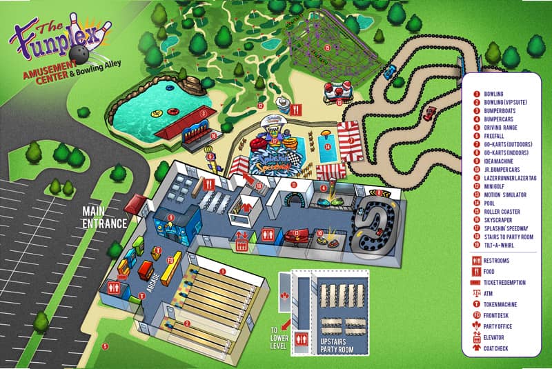
FunPlex Fun Map
This is the Second hand illustrated map I did for Funplex. They had a lot of updates to their area and they asked me to updated it since I worked on the first one.

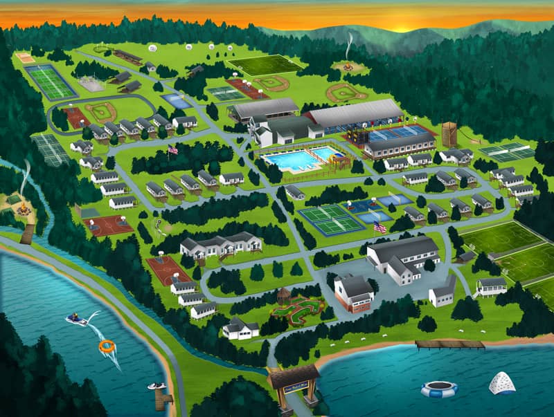
Camp Map
This a hand illustrated map that I did for a camp. They needed an updated version because they added a lot more to their original camp.

Fun Plex Mountain Map
This is the first hand illustrated Funplex map that I did for Funplex. It was a more simple design that I compared to the second hand illustrated map that I did later on.

To see more of my work, or hire me for freelance projects, please visit my website: www.flylanddesigns.com
